PHILIPPINES, ASIA
Paligui Wetland
The Paligui Wetland is part of the Candaba Wetlands – a vast complex of freshwater ponds, swamps, and marshes with surrounding areas of seasonally flooded grassland, arable land and palm savanna on a vast alluvial floodplain. It is one of the Key Biodiversity Areas (KBA) of the Philippines, a critical stopover and wintering area for migratory birds.
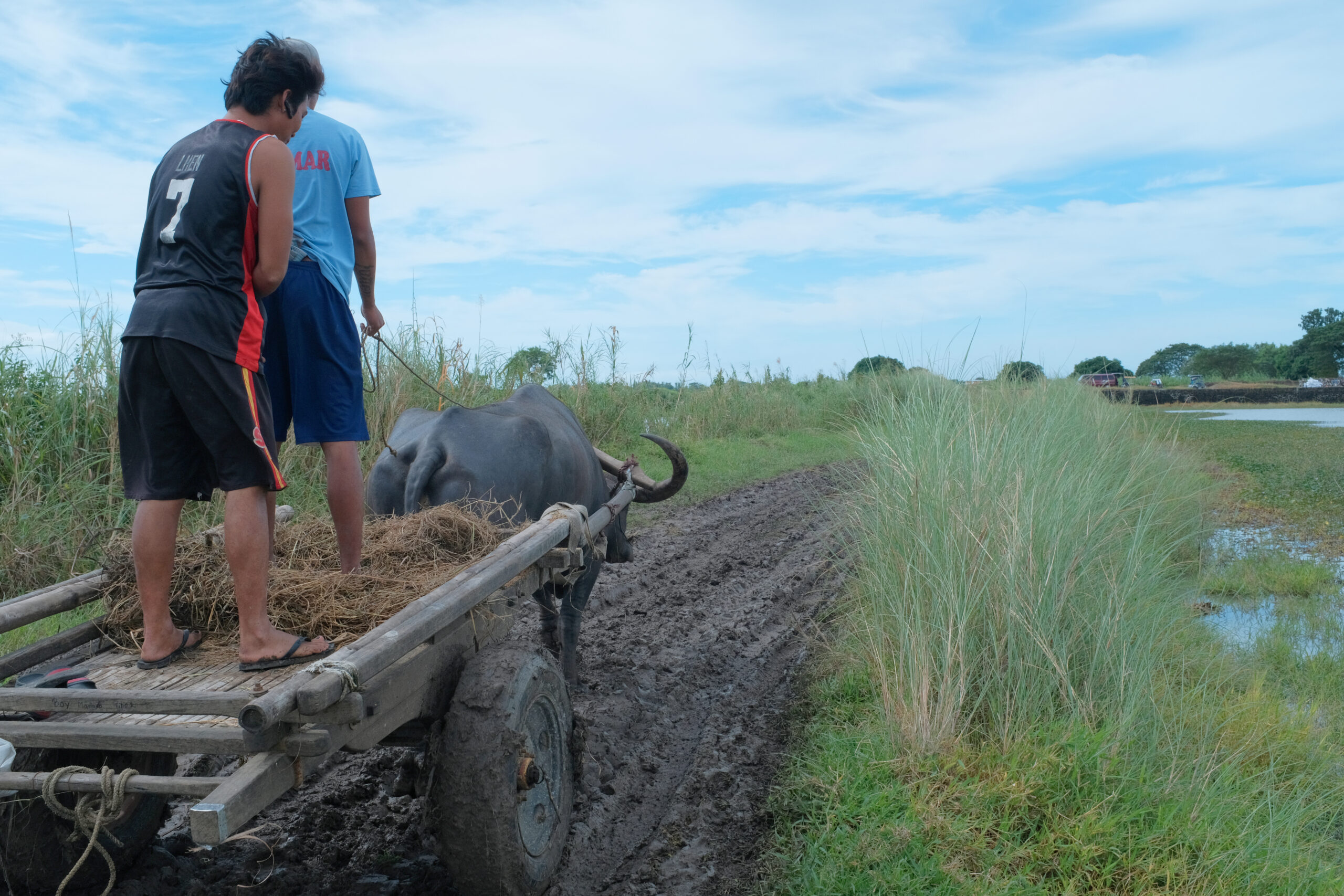
Located 50 kilometers north of Manila, Paligui is primarly an agricultural wetland. Rice is farmed in the area during the planting season, but when the rains come, it gets flooded and turns it into a fishpond. A local farmers association with 75 members (the Macagatal Irrigators Association) owns these 135 hectares of farmland, which are critical for local food security. Housing and commercial development, among other threats, are putting the wetland at risk.


Biodiversity
As part of the East Asian-Australasian Flyway, and being adjacent to a 72-hectare locally declared wildlife reserve -the Candaba Swamp Wildlife Reserve-, the wetland is a critical stopover for migratory birds and a haven for a diverse array of avifauna. During rapid assessments done by SCPW in 2018, in the dry season, 34 species of birds were identified in the farmland area, mostly migratory.
Two endemic species were recorded, including the Olive-backed Flowerpecker (Prionochilus olivaceus) and the Philippine Duck (Anas luzonica F. 1839), which is vulnerable under the International Union for Conservation of Nature (IUCN) Red List. Spotted also is the near threatened Red-necked Stint (Calidris ruficollis P., 1776) which was regularly observed in small number and in several places in the Candaba Wetlands. Fish (10 species), plants (31 species) and arachnid and insects (21 species) were also identified.
A variety of other wildlife is known to thrive in the area, including the Python reticulatus (Reticulated python), a threatened species in the Philippines, and also bats, rodents, amphibians and fish.


Highlighted Species

Philippine Duck
Anas luzonica
Endemic and vulnerable.

Silver Perch
Leiopotherapon plumbeus
Endemic fish.

Agricultural wetland ecosystem


Local Communities
The site is a significant location for agriculture and fisheries, providing water for irrigation and serving as a natural flood retention area.
Rice production is the primary source of livelihood for the local community, and farmers are only able to plant one cycle of rice per year from December to March due to flooding from July to early December.
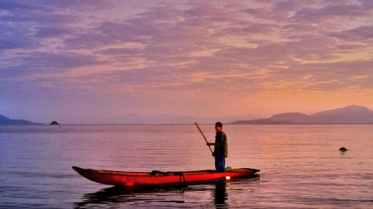
During the rainy season, the area gets flooded and it transforms into a large fishpond. Although the farmers do not intentionally seed fish, a variety of fish species can be found naturally in the area.
Threats
The Paligi Wetland is facing both natural and human-induced threats such as land filling for housing and commercial development, invasion of alien species, migratory bird hunting, electro-fishing, and the excessive use of chemical fertilizers and pesticides.
As a result, the productivity and income of farmers, who rely on the farmland for their livelihood, have declined. Farmers are less able to provide for their families, and this makes them more likely to resort to “business-as-usual” practices or to sell their land to commercial developers in order to maintain their income. The loss and degradation of this agricultural wetland has profound implications not just to local food security, but also for climate change mitigation.


Our Work
As part of the Living Lakes Biodiversity & Climate Project, a Wetland Center complex will be built in the Paligui Wetland to realize the community vision for farm ecotourism, conserve the wetland and improve local livelihoods. The initiative is led by the Society for the Conservation of Philippine Wetlands (SCPW) and its local partners.
The construction of the Wetland Complex and the development of community-based farm ecotourism builds from previous work of the SCPW in the area. In 2017, the organization partnered with the Local Government of Candaba (municipality and Barangay level), Pampanga and with the Macagatal Irrigators Association (MIA) to conserve the 135-hectare agricultural wetland and increase their capacities to manage the area.
The SCPW characterized the ecological and cultural values of the area, and helped the community to develop a Management Plan. The aim of the plan is to enhance the ecological character of the area and its ecosystem services – a critical part of that is the support of community livelihoods, and guiding the farmers in the efficient use of farm resources.
Although the community, with the assistance of SCPW, has been trying to implement the plan, activities had been limited due to challenges such as funding.
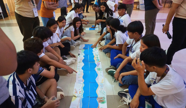
Initiatives done by the SCPW with support from the Ramsar Regional Center includes profiling and capacity building of farmers as bird-watching guides in line with community-based ecotourism as a strategy for effectively managing the wetlands and economic empowerment of the people in the area, and also training on sustainable agricultural practices. The activity was also supported by the Department of Environment and Natural Resources – Region 3, the Department of Tourism – Region 3 and the Agricultural Training Institute.
The Living Lakes Biodiversity & Climate Project will build on this previous work, helping implement and meet the goals of the Management Plan, with the full support of the local government and stakeholders. In addition to establish the Wetland Center complex, it will help procure necessary equipment to fully operationalize the strategy for farm ecotourism.


